


How close are we, really? Population densities in U.S. Cities
In a previous blog post I talked about a new report from the Census Bureau on patterns of population change in U.S. metropolitan and micropolitan areas from 2000 to 2010. My previous post covered Chapters 1 and 2 of the report, which talk about the basic characteristics of metropolitan areas and give an overview of the population change over the last decade.
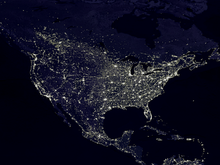
In today’s post I’ll talk about Chapter 3, which covers population density in the U.S. Population density tells us about the concentration of people in residential areas. From this measure we get an idea of how closely people live to each other. In this country, population density varies from more than 100,000 people per square mile in places like New York to just over zero people per square mile in places like remote Alaska.
In 2010, the overall population density of the United States was 87 people per square mile. But the population isn’t evenly distributed. When we break the numbers down by metro, micro, and rural status of areas, we find that metro areas have a much higher overall density (283 people per square mile). The overall density of micro areas is a good deal lower at 42 people per square mile, and rural areas have an overall density of 10 people per square mile. The Census Bureau points out that while the land area of the rural territory was more than twice that of urban areas, the urban population was more than 13 times the rural population.
The two most populous metro areas (New York and Los Angeles), contained the highest overall densities in the country, with more than 2,500 people per total square miles. But the Census Bureau also computed a different density measure for these and all other areas. The overall density of the U.S. discussed earlier (87 people per square mile) isn’t all that informative, because people are not evenly distributed throughout the land. Similarly, overall density measures for metro areas are not precise enough to give us a real idea of how densely people reside, as some areas within the city will be more densely populated and other areas will be less so. To give a more precise idea of how closely people live to their neighbors, the Census Bureau introduces the population-weighted density in their report, which is derived from the densities of all the census tracts (a proxy for neighborhoods) in the area. A metro or micro area’s population-weighted density can be thought of as the average of every resident’s neighborhood density. This measure gives a better idea of the population concentration that people actually experience day-to-day.
Here’s a very simplistic example to demonstrate the difference between these two measures. Let’s say we have a city with two Census tracts – one has 100 people and is 8 square miles, giving us a neighborhood density of 12.5 people per square mile (think houses in the middle of large pieces of land). The other tract has 10,000 people and is 2 square miles, giving us a neighborhood density of 5,000 people per square mile (think apartment buildings and closely spaced houses in subdivisions).

The overall density of our simple city is 1,010 people per square mile: (100 + 10,000 people) / (8 + 2 square miles).
The population-weighted density is 4,950 people per square mile: (100 * 12.5) + (10,000*5,000) / (100 + 10,000).
The population-weighted density more closely represents the concentration that most of our city residents experience day-to-day. Almost everyone in our city (10,000 of the 10,100 total people) lives really close to their neighbors.
Going back to the real numbers, the Census Bureau found that while the overall density measure of the U.S. was 87 people per square mile, the population-weighted density was 5,369 people per square mile. The difference between the two measures was even larger when looking at large metro areas:
| Metro Area | Overall Density | Population-weighted Density |
| U.S. | 87 | 5,369 |
| New York | 2,836 | 31,251 |
| Los Angeles | 2,646 | 12,114 |
| San Francisco | 1,755 | 12,145 |
The big takeaway of all this is that most Americans live close to each other. Really close. Whether because of job opportunities, preference for city living, unwillingness to move away from the place one was born, or other factors, most Americans are in densely populated urban areas. It’s also important to pay attention to how measures of population characteristics are computed. The more local information we can incorporate when using aggregate data, the better we’ll be at understanding the experience of the individual.
I’ll be doing one more blog post about this report. Chapters 4 and 5 cover the changing demographic characteristics of U.S. cities (race, Hispanic origin, age, and gender) – interesting topics in line with Becky’s recent post on the trend towards majority minority. Keep an eye out for that post in January.